Tuesday, 27 Aug., 2019
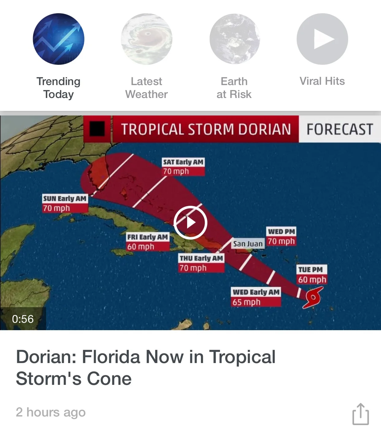
Tropical Storm Dorian has weakened slightly overnight after striking Barbados with winds gusting up to 60 knots. At the moment, Dorian's center is located just west of the island of St. Lucia. Central pressure has risen slightly from 1002 mb yesterday to 1005 mb today. Winds are down to 45 knots sustained with 55 knot gusts.
All models continue to show the storm tracking WNW toward the Mona Passage between Puerto Rico and the east end of the Dominican Republic, with arrival off Punta Cana in the wee hours of Thursday morning. By then, most forecasters agree, Dorian will have regained some strength due to lessening shear conditions and warmer waters of the eastern Caribbean Sea. It is possible that the storm may achieve category 1 hurricane status by then, with winds of around 70 knots.
Once the storm interacts with the landmass of Hispaniola, models diverge somewhat. What is nearly certain is that the storm, of whatever strength, will pass very close to, or directly over, the north coast. We will definitely experience a wind and rain event, with the possibility of flooding on Thursday. Winds will be stronger than normal, possibly reaching Tropical Storm force, as the center passes close by.
By late tomorrow, Wednesday, we may begin to experience increasing cloudiness and intermittent showers. By dawn on Thursday, expect winds to pick up from the NE and N with rain increasing. Dorian is a small storm (in diameter) so effects will not last very long. By late Thursday, into Friday, skies should clear again and normal tradewinds will re-establish.
As Dorian nears Hispaniola tonight and tomorrow, conditions will become more clear and the models will settle. The extent to which Dorian intensifies over the next 36-48 hours remains the big question. Being a small storm, a miss to the north of 30-40 miles Thursday will see Sosua/Cabaretereceiving little more than gusty winds and significant rainfall, however a near miss or direct hit will mean strong, gusty winds and a lot of rain in a very short time. Stay tuned!
For more information, including updates every few hours, visit www.spaghettimodels.com. This excellent ensemble site features links to many forecast providers with excellent graphics and discussions,.
Regards, WeatherWolf

